Tuesday, April 18, 2006

Winter Weather in parts of
Saskatchewan and the Dakotas

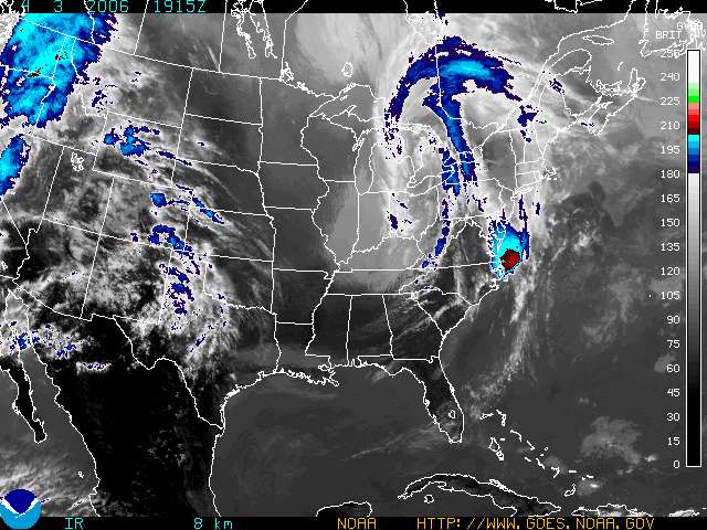
While the east continues to enjoy what has amounted to a very early spring, (it is currently 19C in Kemptville), the west is dealing with a potent late winter storm. The system is currently in Montana sliding eastwards. It has a wide area of very heavy precipitation, that for the most part is falling as rain. However areas along the Manitoba/Saskatchewan border south of the Trans Canada and along the Montana/Dakotas border are expecting heavy wet snow. Blizzard Warnings are in effect in eastern Montana while a general Weather Warning is in effect for Southeast Saskatchewan. 100km/h winds could accompany the precipitation.


The heavy rain in the Dakotas is expected to only add to the flooding misery in the Red River Valley of North Dakota and Manitoba. The picture above shows Interstate 29 just south of Pembina and the Manitoba border.

In the east warm dry weather has lead to the issuance of a Fire Weather Watch for upstate NY. Low relative humidities combined with dry warm southwest winds may lead to a serious grass fire threat. Last week several fires were reported again in Leeds and Grenville. Be very attentive to any outdoor burning.

Thursday, April 13, 2006

Eastern Ontario/Western Quebec
Severe Weather Outlook

This is the first of what I hope will be daily updates regarding the risk of severe thunderstorms within our area. Time and life aside, I will post these every morning and update them when severe weather is expected. Also updated US warnings and discussions are available at this link: http://www.spc.noaa.gov/products/outlook/day1otlk.html

Today: There is a slight risk of convective thunderstorm activity around Western New York and southwest Ontario close to Lake Erie from Hamilton to Windsor. In Eastern Ontario gusty winds to 50km/h and a few sprinkles are expected with perhaps a rumble of thunder.

Monday, April 03, 2006


Thoughts on the warm weather
Snow expected tomorrow!

Greetings weatherverts, so sorry for the lack of writing these days. A couple of factors have played into this. Number 1, March was a very quiet month for weather in Ontario. The second factor is work has been unreal so the thought of more time in front of the computer has not been very appealing.

Nevertheless weather has been happening, as it always does. The Midwest US, the Southern Plains and southeast States have had a an unusually early start to severe weather season. I guess that is to match the late finish. Not much of a break. 27 people died yesterday alone.

It has been very warm of late in Ontario and Quebec. Last Friday we saw several record highs smashed in both provinces including Montreal, Ottawa and Kemptville. It was 24C in Kemptville making it one of the warmest places in the country. This was 76F folks on March 31! People were wearing shorts and hanging their arms out car windows. Restaurant terraces were filled. There is no snow left in Kmeptville. Unfortunately with the warm windy weather has come the threat of grass fires. Several have been reported in the Grenville County with numerous more across Ontario. The fire threat remains elevated across Ontario, New York and Vermont.

All good things must come to an end. Low pressure moving through Ontario today will spawn a second storm near Delmarva tonight. (See the red along the east coast above) This system will move north with moisture and at the same time colder air will sink south into upstate NY and New England. Tonight's rain will change to snow over higher elevations with 6 inches possible by Thursday. Along the valleys just a few flurries are expected at this time. It will however be windy and about 40 degrees F colder than last Friday! Stay tuned!