Thursday, June 30, 2022

Warm & humid Canada Day forecast for Montreal

Happy Canada Day!

Another long weekend is upon us, with an extended period of summery weather expected. Warm and humid air will stream into southern Quebec on Thursday and Friday, with temperatures approaching 30C on Canada Day. Humidex values will be in the middle 30s despite expected cloud cover on Friday. Thursday so far has been a touch cooler than expected as stubborn clouds have prevailed most of the day. We should see some breaks overnight and into Friday morning.

Winds will increase as well on Friday, out of the southwest 30 to 50km/h, drawing in the warm and sticky airmass from the southern US. A few showers and isolated thunderstorm are possible late Friday along a frontal boundary before sunshine returns on Saturday. We can then expect a stretch of ideal summer weather as high pressure builds into southern Quebec. Expect seasonable weather, with high temperatures in the upper 20s and lows in the teens. Sunshine is forecast into at least Tuesday of next week.

Showers and thunderstorms move into Montreal on Wednesday afternoon. June has been a very wet month across southern Quebec, with 170mm of rain falling at Trudeau Airport.

We can certainly use a break from the wet weather, with nearly 170mm of rain falling at Trudeau Airport during the month of June. The long-term normal for the month is 87mm. I have measured 175.2mm of rain at my home on Ile Perrot since June 1st.

Be safe and enjoy the Canada Day and July 4th long holiday weekend.

Wednesday, June 22, 2022

Slow moving showers and thunderstorms for Montreal

With nearly 25mm of rain in the last 24 hours, a heavy rainfall warning has been issued for most of southern Quebec. A very moist airmass is in place, with slow moving showers and thunderstorms forecast to develop along a frontal boundary this evening and into the overnight period. Some flooding is possible. The front should drift to our east on Thursday, with precipitation diminishing.

Heavy Rainfall Warning posted for southern Quebec. Severe thunderstorm watch for eastern Ontario and west Quebec.

A stationary front over southern Quebec will become the focus for slow moving showers and thunderstorms this evening and into the overnight period. Showers and thunderstorms early Wednesday morning have moved well southeast of Montreal after close to 25mm of rain fell over the last 24 hours. Montreal is now in the warm sector, with temperatures in the middle 20s and dew points climbing into the upper teens.

The moist airmass will set the stage for very wet, slow moving showers and thunderstorms across the St. Lawrence Valley. Amounts in the 30 to 50mm range will be possible this evening and overnight, and may even reach 70mm locally in the slowest moving storms. The storms will moving be moving from north to south across southern Quebec.

The ground is quite saturated at this point, so there is a risk of some isolated flooding and ponding of water in places. Precipitation for the month of June is now above normal in Montreal, with 91.6 mm falling at Trudeau Airport to date, with even more in other parts of the city. 

Temperatures will be mild, with overnight lows in the upper teens and daytime highs Thursday in the lower 20s. The warm and humid airmass present across the US Midwest and Ontario will become fully established in Montreal on Friday into the upcoming weekend, with daytime highs in the upper 20s and lower 30s.

Friday, June 17, 2022

Strong thunderstorms cause flooding & damage in Montreal

Just one of several roads that were closed across the Montreal region on Thursday afternoon as a result of several rounds of strong thunderstorms. (CBC)

A series of strong thunderstorms swept across southern Quebec on Thursday afternoon as a cold front sliced into a warm, muggy and highly volatile air mass. The result was cell after cell of powerful thunderstorms, some of which generated isolated tornadoes. In Montreal, the storms arrived around 4pm, moving southeast across the city through 7pm. The airport reported thunder and lightning for four consecutive hours, an extremely rare even for Montreal.

A lightning strike ignited a fire that destroyed two homes and damaged a third in Saint-Marthe-sur-le-Lac northwest of Montreal. (CTV)

The end result was 40 to 60mm of rain in a short period of time, creating flooding on several highways and a nightmare commute home for many. Several underpasses were closed after vehicles became disabled in rising flood water. The storm produced large hail in swath from Hawkesbury, Ontario into Lachute and Two Mountains north of Montreal. Smaller hail of less than 2cm in diameter was reported within the city.

A lightning strike just after 4pm ignited a fire that destroyed two homes and damaged a third in the off-island north shore community of Saint-Marthe-sur-le-Lac. It took firefighters from 5 municipalities to bring the blaze under control by 9pm. No injuries were reported. Hydro-Québec reported outages to almost 43,000 customers during the evening hours, but that number it down to just over 6700 Friday morning.

Day turned to night a severe thunderstorms crossed the Ottawa River to begin their assault on the Island of Montreal just after 4pm on Thursday. (ValleyWeather Photo)

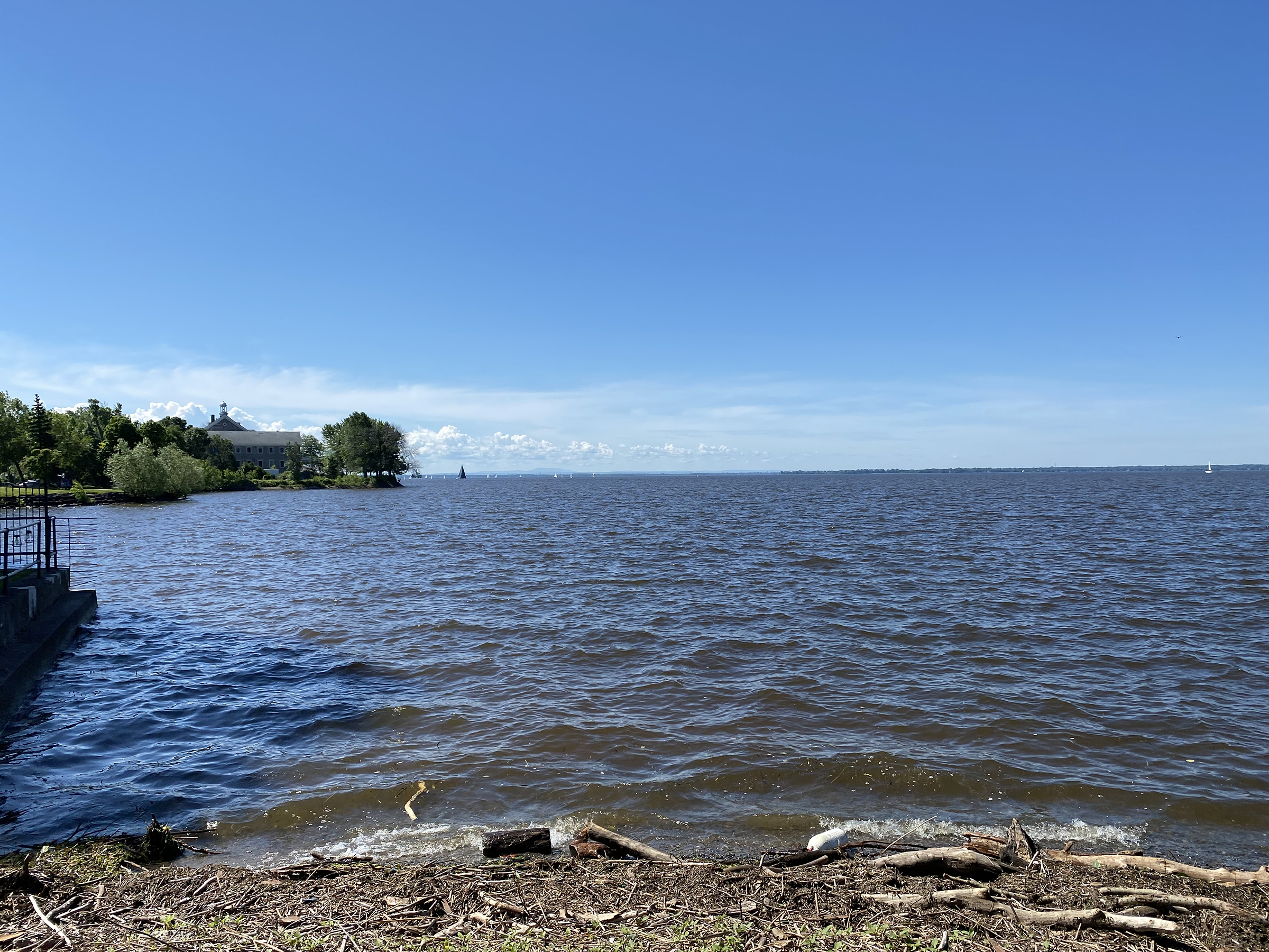
Several regions of Quebec were under tornado watches and warnings Thursday afternoon, but no official reports are in as of my writing.  I did observe plenty of rotating clouds from my vantage point on Ile Perrot. I measured 30mm of rainfall, the bulk falling between 5-6:30pm. Trudeau Airport measured 39.6mm of rain, with 62mm at St Hubert Airport on the south shore.

The severe weather also impacted parts of eastern Ontario, with major damage reported in Bellville, Ontario where winds gusted to 106km/h. Several roofs were damaged along with downed trees and power lines. Western University's Northern Tornadoes Project will be investigating the damage today to determine if tornadoes occurred during the storm.

In the wake of the storms, Friday will be partly cloudy with scattered showers and isolated thunderstorms this afternoon. The strongest of the storms today be southeast of Montreal. The high will be 25C (77F). Behind a secondary cold front today, much cooler air will pour into the region. Saturday will be cloudy, with showers and unseasonably cool, with a high of only 14C (56F) forecast.

The good news is that Sunday will be sunny with near-perfect weather for the Canadian Grand Prix. Expect dry conditions and a high of 21C (70F).

Wednesday, June 15, 2022

Strong thunderstorms Thursday - much cooler weekend ahead

A cold front will produce widespread shower and thunderstorm activity across eastern Ontario and southern Quebec on Thursday. Some of the storms may be on the strong side, especially across eastern Ontario, with heavy rain, hail and high winds possible. There is even a risk of an isolated tornado in Ontario.

Active weather continues across many regions of Canada this week, perhaps with the exception of southern Quebec, at least for now. Cloud cover from a decaying area of thunderstorms in Ontario, is limiting the sunshine across southern Quebec Wednesday morning. Montreal is muggy and on the warm side, but not as warm as expected due to the cloud cover. Expect some breaks this afternoon, with an optimistic high of 27C (81F). Tonight will be muggy, with lows remaining in the upper teens to near 20C. Thursday will see a high once again of 27C.

A steamy airmass is located across the midwestern US Wednesday, nudging into southwestern Ontario. Widespread heat warnings are posted today, including across extreme southwestern Ontario where temperatures are expected to soar into the middle 30s, with humidex readings over 40C. This same airmass was the trigger for widespread severe thunderstorms late Monday and Tuesday. The storms produced wild lightning, strong wind gusts in excess of 120km/h and hail. Power outages and damage was observed from Michigan into portions of Ontario and south across Indiana and Ohio.

On Thursday, warm and humid air will settle across eastern Ontario and southern Quebec. By mid-afternoon, strong thunderstorms are forecast to develop along a potent cold front in central Ontario, moving southeast into the St. Lawrence Valley. At this time, the bulk of the storms should remain southwest of Montreal, clipping the Valleyfield area in the afternoon. A few isolated cells may make it into the metro region. Heavy rain, strong wind gusts and hail will be the main threat. I will update the potential for severe weather in Montreal early Thursday morning.

A childhood friend of mine sent this photo of heavy wet snow, taken Tuesday, June 14 in Elk Valley, BC. The snow fell from a strong storm system moving east across Montana and into Alberta and Saskatchewan. The storm produced heavy rain and snow, with flooding reported in parts of Alberta south into Montana and Wyoming.
Photo: Elizabeth Jones

While warm weather prevails in the east, a strong winter-like storm moved across western Canada. Strong winds occurred across southern Alberta and Saskatchewan, along with extremely heavy rainfall and in some cases heavy wet snow. Calgary reported over 50mm of rain, with localized amounts exceeding 100mm. Heavy rain and flooding also impacted parts of Saskatchewan, with as much as 100mm falling in the Battlefords. A childhood friend of mine living in the Elk Valley in southeastern British Columbia sent me a picture of heavy snowfall which fell late Monday into Tuesday morning. The storm in question is weakening across the Prairies on Wednesday.

Monday, June 13, 2022

Temperature and humidity on the rise this week for Montreal

Saturday was a spectacular day for any activity along the shoreline or on the waters of Lac St. Louis. Conditions were calm, humidity levels low and the air temperature was a perfect 25C. More spectacular weather is forecast through Wednesday before showers and storms arrive Thursday.

The weekend turned out much nicer than I had anticipated, especially Saturday. Shower and thunderstorm activity held off for most of the Montreal region, remaining to our west across Ontario. The day was spectacular with low humidity and a near-perfect high temperature of 25C (77F). A few showers finally moved into southern Quebec Sunday afternoon, again largely missing the Montreal region, with no rainfall reported at Trudeau Airport, and only 2.5mm at my home on Ile Perrot.

Trudeau Airport has measured 32.8mm of rain so far in June, with more in locations around the city. The normal is 87mm for the month. Ottawa has already recorded 73.5mm through June 12.

There definitely was an increase in humidity levels on Sunday, and that trend will continue this week, especially by Thursday. High pressure will settle across southern Quebec on Monday, with fair skies and decent temperatures, the high will be 24C (76F). Clear skies Monday night will allow for cooler temperatures, with lows in the lower teens. There may be some patchy for around early Tuesday morning, especially across off-island locations.

Fair weather will prevail through Wednesday, and as the week progresses, temperatures and humidity levels will be on the rise in Montreal.

A dome of dangerously hot air will settle across most of the central US this week, with temperatures soaring into the middle to upper 30s and heat index values into the 40s. Widespread weather warnings are currently in effect for a dangerous heatwave, with hot temperatures expected from the Mexican border all the way to southwestern Ontario. Montreal will remain on the extreme northeastern edge of that heat dome, with temperatures approaching 30C (86F) in parts of the region by Thursday, along with elevated humidity. The heat will be short-lived for Montreal, as a potent cold front will cross the St. Lawrence Valley late Thursday followed by much cooler weather Friday and Saturday.

During the transition to cooler air on Thursday, there will be a chance for showers and a few strong thunderstorms. Until then, enjoy the spectacular mid-June weather.

While storms have largely missed the Montreal region this summer, other parts of the country have been hammered by violent weather. A severe thunderstorms Saturday afternoon produced flooding and damage near Shawinigan. Winds gusted to 72k,/h along with 32.6mm of rain and hail 1-2 centimetres in diameter.

Strong thunderstorms last Thursday and Friday across southern Saskatchewan and Manitoba, produced torrential rain and heavy hail. The hail covered the ground east of Regina.

Strong thunderstorms last Thursday produced a heavy accumulation of hail along the Trans Canada Highway east of Regina. The hail caused damage and several accidents. (Photo - Regina Fire Department)


Tuesday, June 07, 2022

Unsettled wet weather week ahead for Montreal

Unsettled, wet weather is expected in Montreal for most of the upcoming week.

A series of frontal systems will provide southern Quebec with a rather cloudy, wet week. The first system is on our doorstep Tuesday morning, as low pressure and a trailing cold front move across Ontario and Quebec. Light showers are already occurring in Montreal, with coverage and intensity of the precipitation rather light. We will have a few breaks in the cloud through midday, allowing the atmosphere to destabilize somewhat. Winds will begin to increase out of the southwest ahead of the cold front this afternoon, up to 50km/h, along with the increased risk of showers and perhaps a rumble or two of thunder. Showers will continue overnight. Rainfall amounts by Wednesday morning will be in the 15 to 20mm range for Montreal, with up to 50mm possible across eastern Ontario.

Wednesday though Friday will be rather unsettled, with more clouds than sun and the risk of showers all three days. Our rain chances unfortunately will only increase this weekend, as another low pressure system will approach Quebec from the Ohio Valley. Temperatures will be close to seasonable, with highs in the low 20s and overnight lows in the middle teens.

Meteorological summer has started off rather cool in Montreal, after a hot May. The average high through June 6 has been 22.1C (71.8F), very close the the normal of 22.3C (72.1F). It has been dry so far, with only 2mm of rain, following what was a drier-than-normal May, with 58mm of rain compared to the normal of 81mm. Most of that fell in less than an hour during one thunderstorm on May 16.

Our May heatwave was one for the record books in Montreal. The May 12 to 14 heatwave featured three consecutive record highs, and was the earliest such period on record for the city. The previous "earliest" heatwave was May 27 to 30, 1978. The four daily highs over 30C tied a record set in both 1977 and 1978.

Despite the cooler, wet weather break anticipated this week, it is still looking like a rather hot and humid summer for Montreal.

A high water rescue vehicle evacuates residents from a Miami suburb last Saturday morning after 275mm of rain fell from what would become tropical storm Alex. (Photo: Miami-Dade Fire Rescue)

The Atlantic hurricane season got off to an early start, with tropical storm Alex forming east of Florida this past weekend. The system developed from the remains of Hurricane Agatha that had moved inland over central Mexico last week before crossing into the Gulf of Mexico and reforming as Alex. Alex dumped copious amounts of rain on south Florida over the weekend, producing flash flooding. As much as 275mm of rain fell on Miami Friday and Saturday. The storm then brushed Bermuda before dissipating in the open water of the Atlantic. This is likely just the beginning of what promises to be a busy season according to forecasters at the National Hurricane Centre.