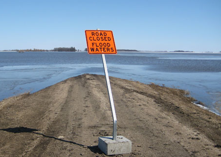
 Flooding in southern Manitoba.
The good news is we can expect sunshine today and a part of Friday. Temperatures will warm to 20C across the region. The bad news is another heavy rain event is on the way. A very complex weather pattern will set up from this weekend well into next week. A "backdoor" cold front will move southeast from Atlantic Canada on Friday, pin wheeling around low pressure over the Atlantic. A round of showers and thunderstorms is possible late Friday into Saturday before a slight break in the weather. Beginning Sunday and lasting well into next week several areas of low pressure will pump large amounts of moisture into New England and southern Quebec from the Atlantic. Look for rain to develop Sunday and continue perhaps into next Wednesday. While it is too early to tell amounts, it is certain;y likely that we will see 25mm (1 inch) and perhaps as much as 75mm. This is not good news for the flood ravaged Richelieu Valley and Lake Champlain basin. Interests on both sides of the border should closely monitor the forecast.
Meanwhile flooding continues in southern Manitoba along the Assiniboine River as well as severe flooding south of the border along the Mississippi River. Flooding is occurring from Memphis south with the record crest expected to arrive in New Orleans sometime in the next week to 10 days.
No comments:
Post a Comment