 |
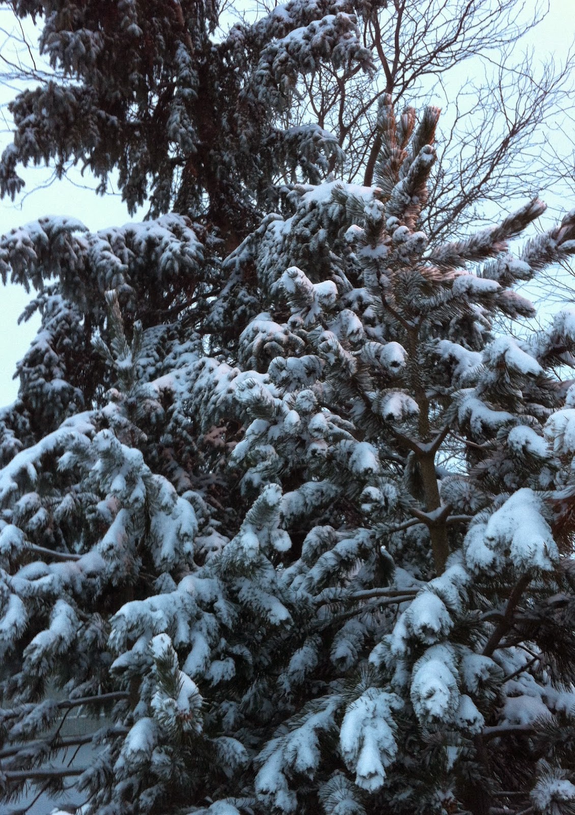
| Above & Below: Snowy late winter morning on L'Ile Perrot, Quebec. (ValleyWX Photos) |
The low will continue to produce snow today from Montreal east into Atlantic Canada. A second area of low pressure developing off the Atlantic coast will deepen rapidly and become the main system, blasting New Brunswick and Nova Scotia today. Blizzard conditions are expected with winds increasing to 50-80km/h from Quebec City east into Nova Scotia. They will gust in Montreal today as well, up to 60km/h producing blowing snow. We can expect a high near 1C (33F) today in Montreal. Skies will clear briefly tonight before clouds increase on Monday, the low will be -9C (16F). A series of cold fronts this week will bring us lots of flurries with windy and much colder weather by Wednesday. Temperatures will remain below freezing for highs and drop down to the minus teens for lows, well below the normal high/low of plus 3C and -6C.

No comments:
Post a Comment