 |
| Volunteers are out in full force in the Borough of Pierrefonds-Roxboro. Dry weather is finally expected on Friday, after several days of rain in the Montreal region. Water levels remain high and the flood risk will persist into next week. (Courtesy Photo Benoit Langevin) |
The rain has been relentless in parts of Quebec, along with moderate to major flooding across many regions. The hardest hit by far this week has been the Charlevoix region, where spring runoff combined with nearly 100mm of rain, has resulted in serious damage and sadly the loss of two volunteer firefighters. There bodies were found on Wednesday after being swept away Monday by fast-moving flood waters.
In Montreal, nearly 50mm of rain has fallen since Sunday. West of the city, 54mm fell at Saint Anicet and 63mm in Ottawa.
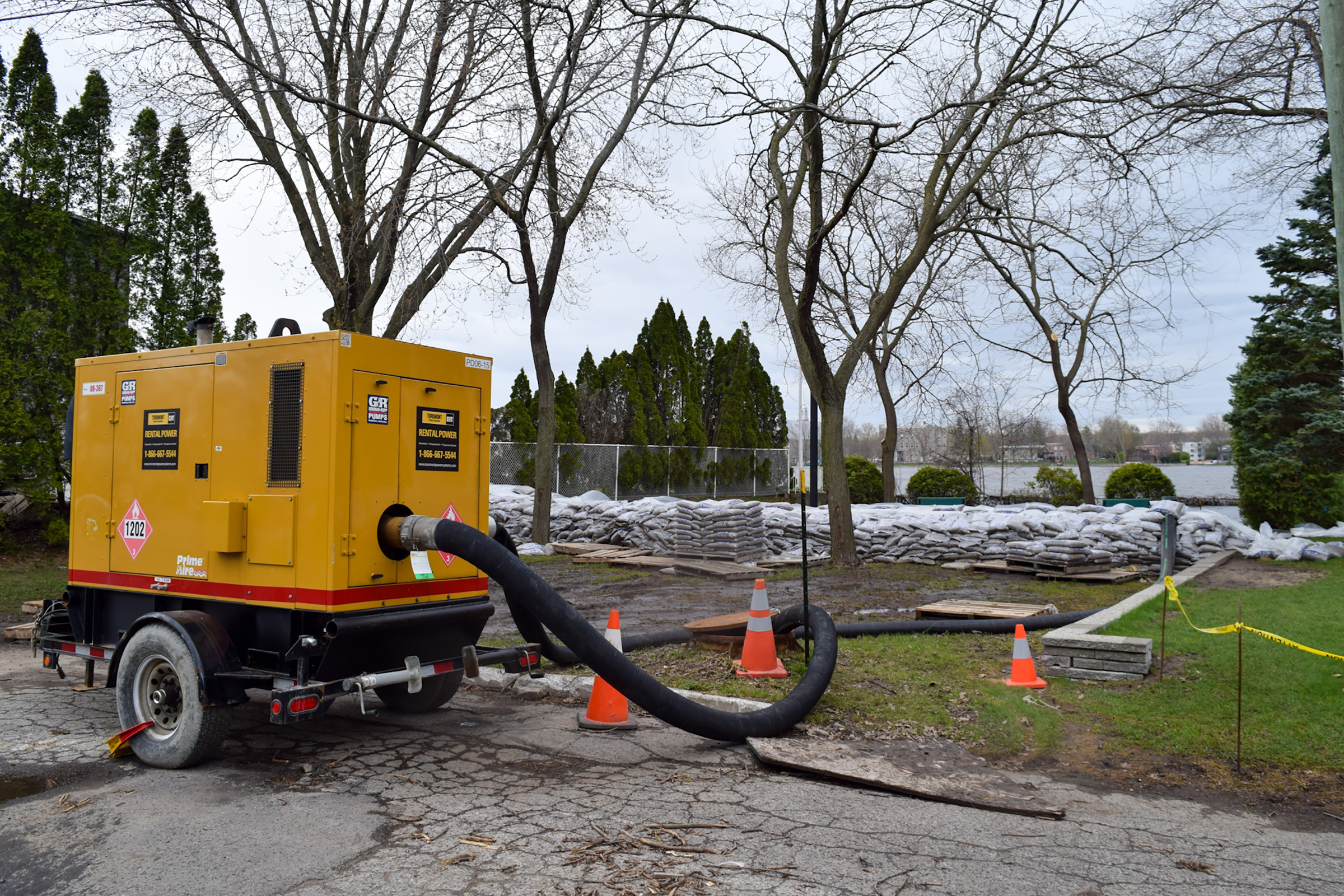 |
| Pumps are in place in several municipalities in the western half of metro Montreal. (L'Île-Bizard Sainte-Geneviève) |
In the Montreal region, water levels continue to rise, especially along the western facing shorelines of Lake of two Mountains. The lake itself, part of the Ottawa River Valley, is in major flood stage Thursday morning at 24.36 metres at the gauge in Pointe Calumet. Major flood stage is 24.30 metres. If you are keeping score, it is the third "100 year flood" in the last 6 years. Water levels are also high in Pierrefonds, Senneville, Sainte-Anne-de-Bellevue, Ile Perrot and Vaudreuil-Dorion.
In Sainte Anne, the gauge is measuring 24.30 metres Thursday morning, still well below the major flood stage of 24.50 metres. In Terrasse Vaudreuil, the level of the lake is at 24.27 metres. Flooding is occurring to several properties immediately adjacent to the lake.
In Vaudruil-Dorion, precautionary measures have been taken along Boulevard Saint Charles, where flood waters have crept up onto the road in several sections. Shoreline parks have been flooded as well.
In Pierrefonds, sandbagging has been organized to help protect several properties, and volunteers are out in full force Thursday morning. For assistance or to volunteer, you can contact Pierrefonds/Roxboro Councillor, Benoit Langevin at benoit.langevin@montreal.ca
In Senneville, the municipality has closed Chemin de l'Anse a l'Orme due to flooding. They are monitoring high water levels adjacent to Senneville Road.
In all cases water levels are rising, but the good news is today will be the last day with showers for the region. High pressure will build into southern Quebec starting Friday and remain in place well into next week. The end result will be flood waters stabilizing and beginning to slowly recede. But the next 10 days will be critical for the Island of Montreal and points west, as the water from the Ottawa River drains through the city and east.
Temperatures have been cold for early may, but will rise to near 20C (68F) starting Saturday.
No comments:
Post a Comment