Winter Storm Update
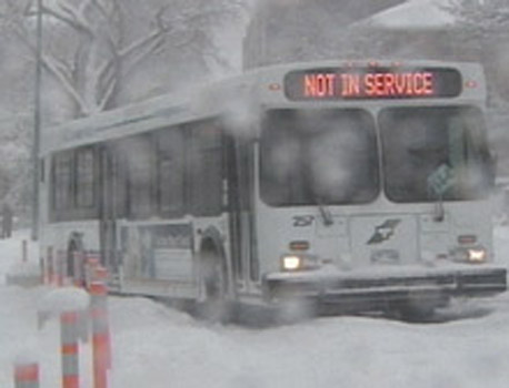
Here is how our first storm of the season will play out over the next 24 hours. It appears that strong low pressure currently developing south of Cape Hatteras will move north and east to lie near New York City tomorrow. The storm will spread heavy precipitation and gusty winds as far west as the St. Lawrence Valley. Presently no warnings have been issued on the Canadian side. There is however a Winter Strom warning in effect for the Adirondacks of NY and the Green Mountains while tha valley's have a Winter Weather Advisory posted. Precipitation will spread from south to north reaching eastern Ontario overnight. Precip will begin as rain mixed with snow before changing to all snow on gusty north winds up to 50km/h. The temperature will drop below freezing in the afternoon and it will become nasty form travel on Tuesday. At this time 10cm of snow near the US border with 5-10 elsewhere is a good bet. However it will all depend when the change over from rain occurs. It will nevertheless be a tough travel day with some form of precip all day throughout the region. More snow is expected by Thursday morning as another storm system moves near our area.
No comments:
Post a Comment