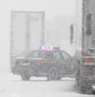
11am Update: Freezing rain warnings remain in effect for the region. Snow began around 8am and is still falling here in Ile Perrot. I would say close to 5cm has accumulated. It was mixed for a period with sleet and freezing rain, but since has gone back to steady snow. The temperature here is -1C so the snow is quite wet in nature. Temperatures are close to if not above freezing to our south and east so expect precipitation to become rain as the afternoon moves on. Roads will remain slippery.
 Morning image of the large winter storm over Ohio moving into the St. Lawrence Valley. (NOAA)Sorry for the delay folks in updating this current storm, it was a busy Saturday ending with the trimming of the tree!
A large winter storm over the Great Lakes this morning will pass close to Montreal overnight and then north into central Quebec. A wide variety of weather is on our doorstep. Most forecasts are in agreement now with a warmer solution for the region, as a result
Freezing Rain Warnings are in effect for Montreal, Ottawa and Kemptville. Virtually all of Quebec and a large portion of Ontario is under some sort of warning. Basically north and west of the storm snow and blowing snow are expected with 15-25cm total. Along the storm track through the St. Lawrence and lower Ottawa Valley's, precipitation will start as snow very early this morning and then transition through a wintry mix of sleet and freezing rain and eventually rain overnight then back to snow early Monday. South and east of the storm, a mostly rain event, with flooding rains possible in portions of New England and Eastern Quebec into Atlantic Canada. With a strong southeast flow in those regions, Atlantic moisture could produce up to 80mm of rain in the Gaspe, New Brunswick and Nova Scotia. Meanwhile the central and western Great Lakes are experiencing blizzard conditions as frigid air pours in west of the storm. That cold air will arrive in our region by late Monday. Light snow and squalls will contiue the rest of the week.
Winds will be an issue as well gusting 40-60km/h in our region from the northeast and eventually southwest today and tonight. Meanwhile across the Adirondacks and Green Mountains, they could easily gust over 100km/h. This has prompted wind warnings for those regions.
This morning radar is showing precipitation advancing into our region rapidly. With temperatures well below freezing still in eastern Ontario and southern Quebec, expect the precip to be frozen. Roads like the 20 and 401 will ice quickly. I will update this weather situation by mid morning today.


