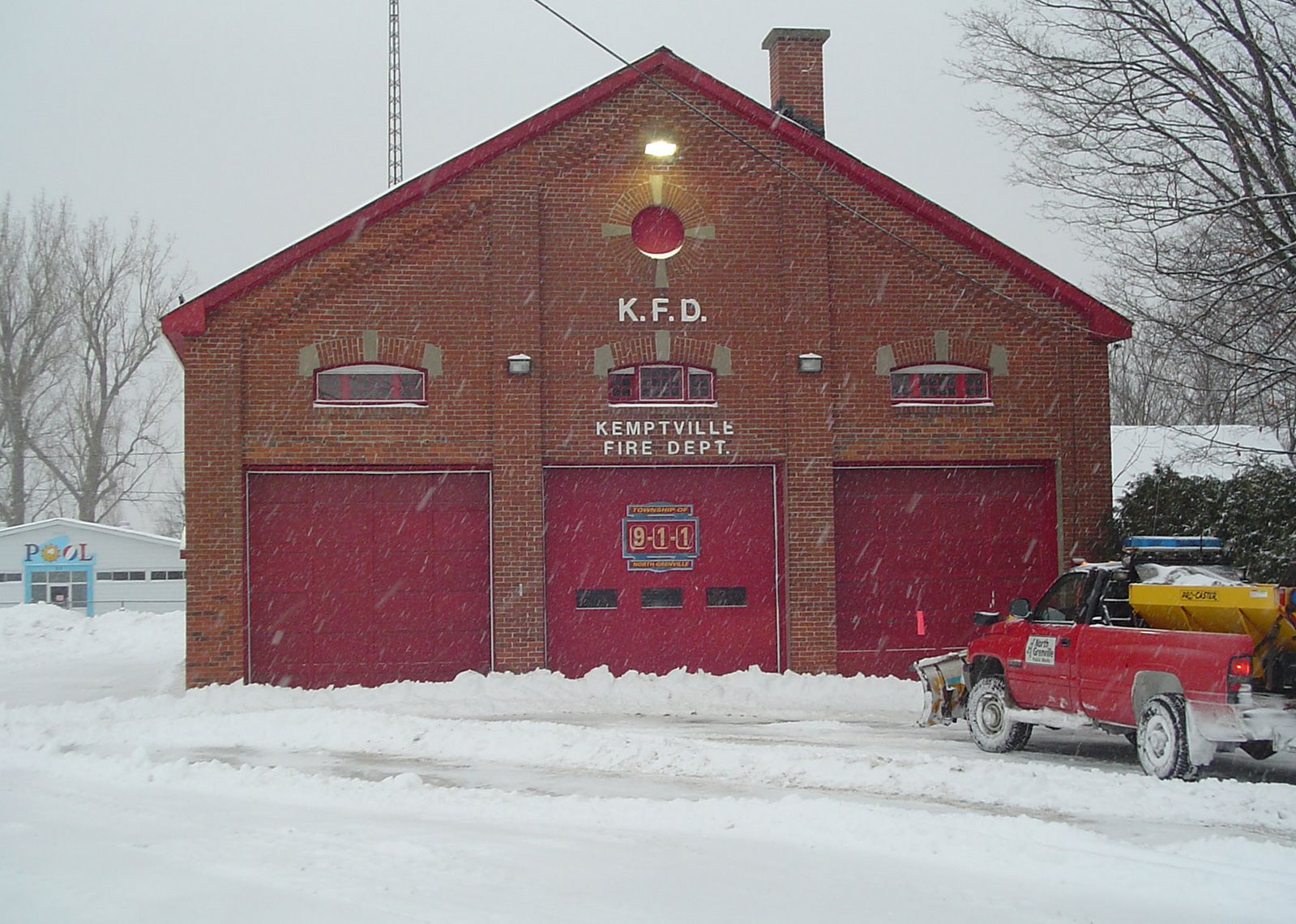
Sleet and snow dump 10cm on Kemptville so farALL Buses cancelled for Lanark, Leeds & GrenvilleThe snow and sleet started in
Kemptville around 10pm last night. As I expected the heavy compacting sleet kept snow totals down, but we have an impressive 10cm on the ground. It would be more in the 15cm range had the sleet not occurred. Most weather offices on both sides of the border are scaling back on the forecast snow amounts as the main low begins to transition its energy to a developing storm on the east coast. A good bet is 15-25cm by the end of the day for all areas.
Blah bah blah what this all means is that the heaviest snow for
Kemptville is past for the moment. It will remain quite heavy in
Ottawa and Montreal for several hours still. Another swath of snow will accompany the back side of the storm as it moves
through later today. The winds will also become a factor increasing from the northwest and gusting to 50km/h.
In
addition snow squalls will develop around the lakes and some of these could affect eastern
Ontario with brief bursts of heavy snow. To
summarize it is not the end of the world, but it will be a nasty day on the roads, with gusty winds, varying
degrees of snow falling from Kemptville in all directions and snow covered roads.
ALL school
buses have been cancelled for
Lanark,
Leeds & Grenville, Ottawa and SD&G.
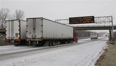
 The wreckage on the 401 westbound at Morrisburg, ON as captured by our